The Copernicus Marine Service continues to enhance its in situ observation capacity by integrating new marine data streams and expanding existing observing networks. In the first quarter of 2026, several regional partners of the In Situ Thematic Assembly Centre (In Situ TAC) contributed additional near-real-time (NRT) and historical datasets, further improving the availability, coverage, and long-term consistency of marine observations provided to users worldwide.
Arctic Region
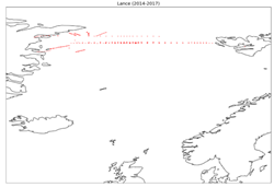
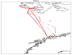
New conductivity–temperature–depth (CTD) datasets collected in the Fram Strait during the RV Lance expeditions (2014–2017) were integrated using data from the Polar Institute. Additionally, near-real-time FerryBox observations from the vessel Norbjørn, operating along the regular route between Tromsø and Svalbard (including Longyearbyen and Ny-Ålesund), were integrated with data supplied by the Norwegian Institute for Water Research. Historical FerryBox records are expected to be added in a future update.
Baltic Region
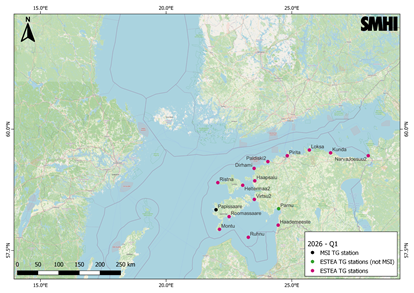
The Baltic regional component integrated 15 new near-real-time sea level stations in Estonia. Fourteen stations were provided by the Estonian Environmental Agency (ESTEA), and one station by the national meteorological institute (MSI). The ESTEA stations, introduced through a new data provider partnership, also contribute marine meteorological observations.
North West Shelf Region
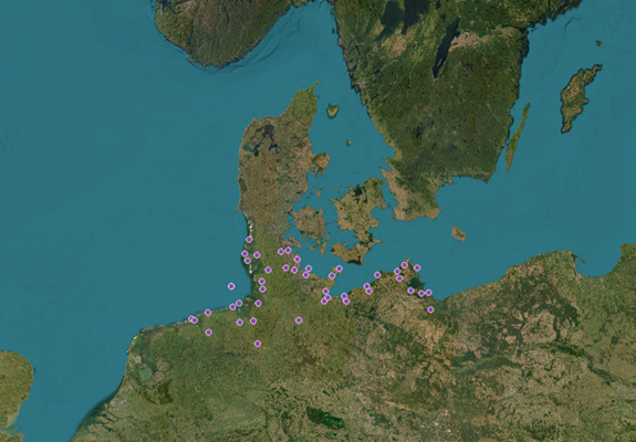
A major historical sea level data integration was completed for the German coast, including 46 tide gauge stations with observations from the 1990s through the 2020s. This work involved a comprehensive metadata review, homogenization of time series to a unified vertical reference system following the 2019 reference update, and extension of records that previously began in 2014.
Iberian Region
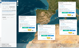
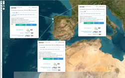
Several important updates were implemented across the Iberian observing systems. Wave parameter datasets from four tide gauge platforms operated by Puertos del Estado (PdE) were integrated, covering both exterior and interior harbor conditions. The integration includes near-real-time delivery, historical records, and quality control validation.
In parallel, near-real-time data flows from the Galician coastal buoy network were successfully resumed through a new API connection. This update covers five buoy platforms and introduces additional parameters along with extended historical time series for three stations.
Black Sea Region
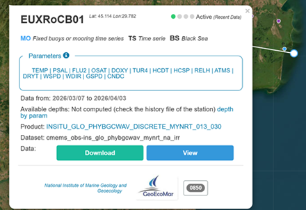
A new Romanian coastal buoy operated by GeoEcoMar was integrated, providing near-real-time temperature (T), salinity (S), and biogeochemical (BGC) observations for the Black Sea region.
Global Region
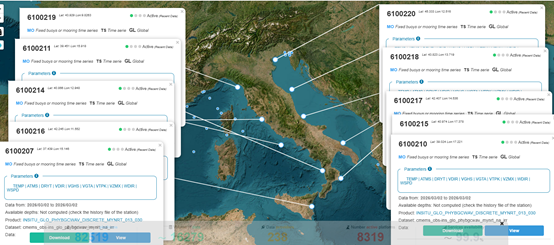
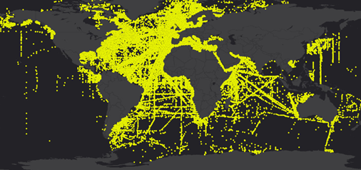
At the global scale, new near-real-time wave buoy observations from Italy were integrated through the Global Telecommunication System (GTS) network. Additionally, approximately 80,000 new oceanographic profiles provided by SHOM were incorporated, covering the period from 1902 to 2017.
Current (UV) Product Enhancements
Further developments were achieved for the current (UV) product. New stations from the CNET and TOSS systems were integrated into the HFR-ICATMAR network along the Catalan coast. The PEND and PERR stations were also incorporated into the HFR-Whub network along the North Cornwall coast, enabling the production of radial current data in areas where previously only total current fields were available.